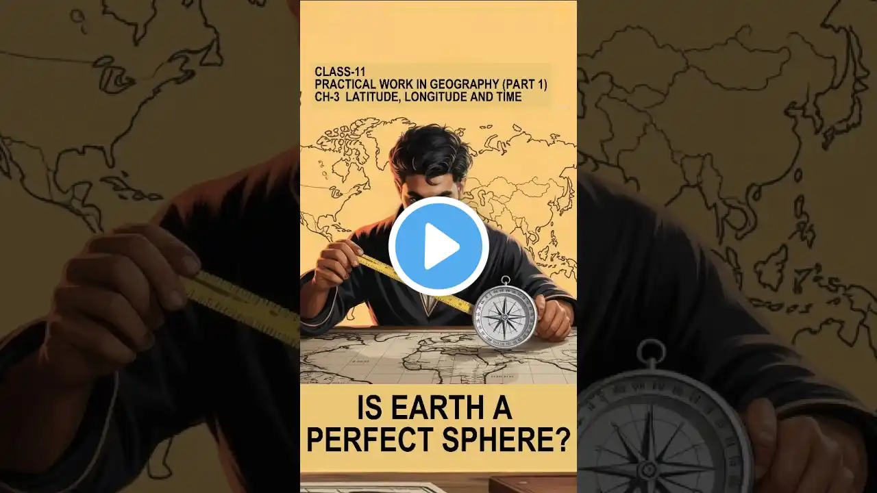
NCERT Class 11 Geography Practical Chapter 3: Longitude, Latitude, Time | CBSE | English
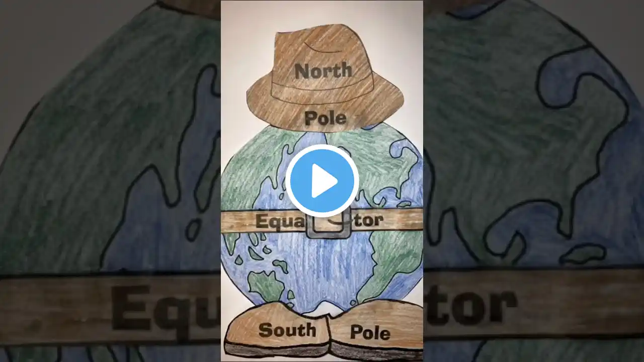
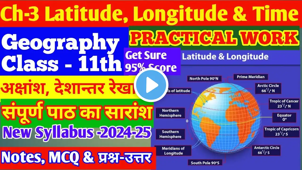
Dr. Manishika Jain in this video explains NCERT Class 11 Geography Practical Chapter 3: Longitude, Latitude, Time Geography UPSC mains optional Online crash course - https://www.doorsteptutor.com/Exams/I... Join our fully evaluated UPSC Geography optional test series at - https://www.doorsteptutor.com/Exams/I..., Post evaluation get personalized feedback & improvement call for each test. For GS test series refer - https://www.doorsteptutor.com/Exams/I... IAS Mains Geography optional postal course visit - http://www.examrace.com/IAS/IAS-Flexi... For Maps and locations (revised and updated - includes section on education, defense and more) book click here - http://www.examrace.com/IAS/IAS-Flexi... Lectures organized in topics and subtopics: https://www.doorsteptutor.com/Exams/I... For IAS Prelims visit https://www.doorsteptutor.com/Exams/I... Map Map Scale Atlas map wall map Post-Production: Pooja Data its source and compilation notes Data its source and compilation NCERT solutions Data its source and compilation class 11 Data its source and compilation Geography practical class 11 NCERT solutions Practical work in geography class 11 solutions Geography practical book class 11 solutions NCERT, Yojana, Kurukshetra, Down to Earth, Science, Social Studies and More interesting topics subscribe in Hindi ExamraceHindi: / examracehindi For Science Class 11-12 and important topics subscribe to DoorStepTutor: / doorsteptutor More interesting topics subscribe at TestPrep: / testprep For Kids nursery to grade 5 - / funprof Equatorial radius and the polar radius of the earth is not the same Rotation on axis produces bulge at equator network of imaginary lines is drawn on a globe or a map to locate various places – geographical grid The grid consists of two sets of horizontal and vertical lines, which are called parallels of latitudes and the meridians of longitudes Horizontal lines parallel to each other and appear as circles Angular distance, in degrees, minutes and seconds of a point north or south of the Equator Midway between north & south pole is equator Divide globe in 2 equal half – great circle Rest are smaller – called parallels or latitude If parallels of latitude are drawn at an interval of one degree, there will be 89 parallels in the northern and the southern hemispheres each. The total number of parallels thus drawn, including the equator, will be 179. If earth was perfect sphere – length of one degree would be 111 km and would be same as longitude. But the degree of latitude changes slightly in length from the equator to the poles. While at the equator, it is 110.6 km at the poles, it is 111.7 km. Latitude of a place may be determined with the help of the altitude of the sun or the Pole Star. Draw Parallels: Draw a circle and divide it into two equal halves by drawing a horizontal line in the centre. This represents the equator. Place a protractor on this circle in a way that 0° and 180° line on the protractor coincide with the equator on the paper. Now to draw 20°S, mark two points at an angle of 20° from the equator, east and west in the lower half of the circle. The arms of the angle cut the circle at two points. Join these two points by a line parallel to the equator. It will be 200S. Chapters: 0:00 Longitude, Latitude, 0:20 Earth is Oblate Spheroid 0:32 Equatorial Radius 1:04 Geographical Grid 1:37 Latitude or Parallel 3:37 Great Circle 4:36 Different Region 4:47 Longitude or Meridian 7:26 Prime (Greenwich) Meridian 8:11 Solving Problems on Latitude & Longitude 10:56 International Data Line 12:21 Asian Countries – American Continent #Longitude #Meridian #Torrid #Frigid #Developed #Latitude #Parallel #Radius #Spheroid #Equatorial #Manishika #Examrace #examrace #upsc #ugcnet