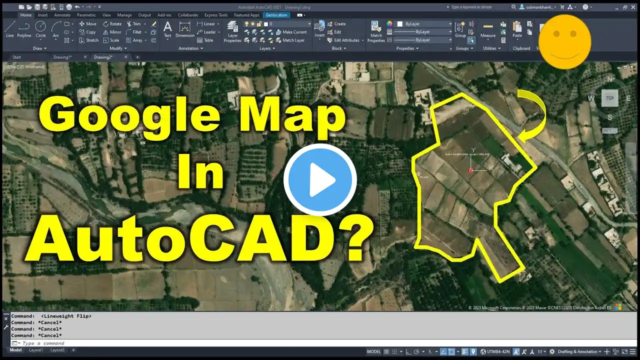
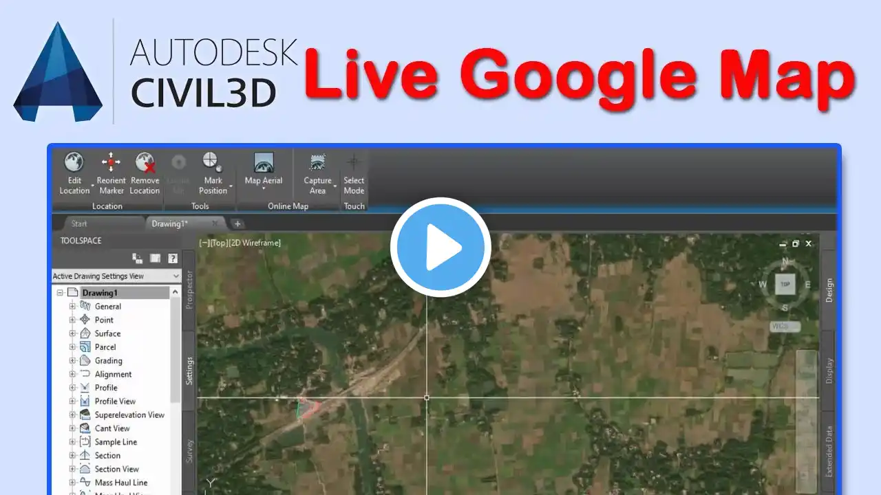
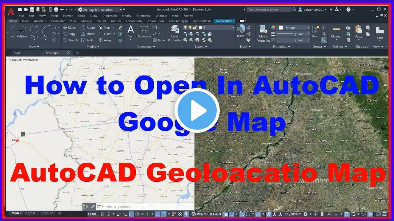
Geolocation in AutoCAD Civil 3D | Google Map overlay in AutoCAD | Online Satellite Map Autodesk Map.
In this video, I will explain a new method by which you can use online satellite image overlay in AutoCAD directly. #autodesk , #globalmapper #civil3d If you want any kind of Work, complete Data and Drawings set or you want online zoom training or any work realted Road and highwyas Desgin Contact me :- WhatsApp: https://wa.me/+923442542510 Udemy Courses: 6 Kilometres Practically Complete Roads and highways & Junction Design Course Autodesk Civil 3D. Link:-👇🏻 https://www.udemy.com/course/autocad-... Complete Roads and highways Design Course Autodesk Civil 3D. Link:-👇🏻 https://www.udemy.com/course/autocad-... Complete Road design + open channel + Roundabout Design 3 in 1 with very details Course on Udemy is live now and I am offering my youtube students with discount hurry up and enroll now for a limited time offer best of luck. I am offering a 50% discount for my youtube Students. Udemy Course link:- https://www.udemy.com/course/road-des... AutoCAD Complete Course Basic to advance Level:- https://www.udemy.com/course/complete... For Civil Engineering PDF Books Join Telegram :- https://t.me/EngineeringSound Money-back guarantee If you are not satisfied with the course, request a refund within 30 calendar days of your purchase and I will honor the request. That’s how confident I am about my courses. You will be blown away by the training. You can try the course risk-free to understand if it is the type of training you’re looking for, and if not, get 100% of your money back. Related Videos: 1) How To Use Google For Beginners. CH# 1 • How To Use Google Earth For Beginners... 2) How To Extrac Data From Google Earth To Excel By Using TCX Convertor.CH#2 • How To Extrac Data From Google Earth ... 3) How to add location in Google Maps | Add home Shops or New place in Google maps. CH# 3 • How to add location in Google Maps | ... 4) How To Convert AutoCAD Drawing To KML/KMZ To Google Earth. CH#4 • How To Convert AutoCAD Drawing To KML... 1)How to Change background Color Settings in Civil 3d • How to Change background Color Settin... 2)How To Import Points In Civil 3D Ch# 01 • How To Import Points In Civil 3D. CH... 3)How to Create Surface with Contours and Basic Drawing settingsN Ch# 02 • How to Create Surface with Contours a... 4)How To Draw Road Alignment In Civil 3D CH# 03 • How To Draw Road Alignment In Civil 3... 5)How To Draw and Prepare Survey As built Data in Civil 3D and Export Data to Excel • How To Draw and Prepare Survey As bui... 6) How To Calculate Volume In Civil 3D. CH# 05 • How To Calculate Volume In Civil 3D. ... 7)How To Draw Simple Road Profile By Using Lisp. CH# 06 • How To Draw Simple Road Profile By Us... 8)How To Prepare Leveling Control Report Road alignment,as built,Export data to Excel. CH# 07 • How To Prepare Leveling Control Repor... 9) How To Import X,Y,Z Coordinates From Excel To Auto cad. CH# 08 • How To Import X,Y,Z Coordinates From ... 10) HOW TO DRAW COORDINATES ON ROAD ALIGNMENT / CENTER LINE . CH# 09 • HOW TO DRAW COORDINATES ON ROAD ALIGN... 11) 1)How to Change background Color Settings in Civil 3d • How to Change background Color Settin... 2)How To Import Points In Civil 3D Ch# 01 • How To Import Points In Civil 3D. CH... 3)How to Create Surface with Contours and Basic Drawing settingsN Ch# 02 • How to Create Surface with Contours a... 4)How To Draw Road Alignment In Civil 3D CH# 03 • How To Draw Road Alignment In Civil 3...