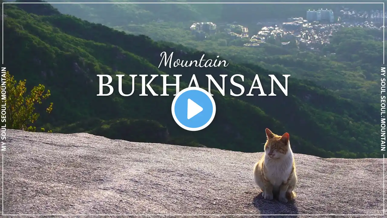
Virtual Walking Tour/ Mt.Bukhansan Hiking in Seoul, Korea 🇰🇷/ 미세먼지 제로, 북한산 일일 하이킹, 도보 여행
See the location on the map | 지도에서 비디오 위치 보기 Bukhansan, or Bukhan Mountain, is a mountain on the northern periphery of Seoul, South Korea There are three major peaks, Baegundae 836 5 meters (2,744 ft), Insubong 810 5 meters (2,659 ft), Mangyeongdae 787 0 meters (2,582 0 ft) Because of its height and the fact that it borders a considerable portion of the city, Bukhansan is a major landmark visible from most city districts The name "Bukhansan" means "mountain north of Han River", referring to the fact that it is the northern border of the city During the Joseon era, the peaks marked the extreme northern boundary of Seoul Bukhansan is the highest mountain within Seoul city boundaries Apart from Bukhansan, there are seven other mountains including Dobongsan and Suraksan that are over 600 meters high within the city Popular throughout the year, Bukhansan, and Bukhansan National Park, which was formed in 1983, are renowned for birdwatching, hiking and rockclimbing Bukhansan attracts a large number of hikers; around 5 million per year ❤️💛💚 More interesting places and streets?💚💛 ❤️ AlleysMap Mobile App iOS: Android: AlleysMap Web: Let's Connect: ►Subscribe: ►Twitch Live Channel: ►Facebook: ►Instagram: ►Homepage: What devices are used to record this video?? ►GoPro Hero 5 Black + 3way extension pole ►Samsung Galaxy S7 + Zhiyun tech smoothQ gimbal + External Battery ►►►Make your own geotag street videos◄◄◄ AlleysMap Mobile App Download iOS: Android: 💖💖AlleysMap is a map based geo-tagging video sharing app You can record beautiful places, streets, landmarks discovered while traveling and activities in the geo-tagging videos vividly Furthermore, you can keep and situate them on the map in the accurate location Check out the AlleysMap to see vivid imagery of the many places, ways, and activities that people have shared Let’s explore all over the world with a variety of mapped videos


