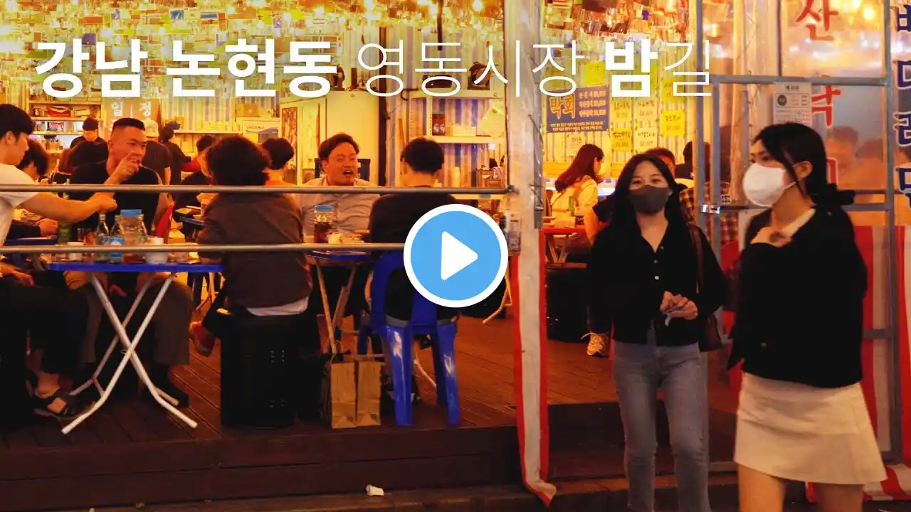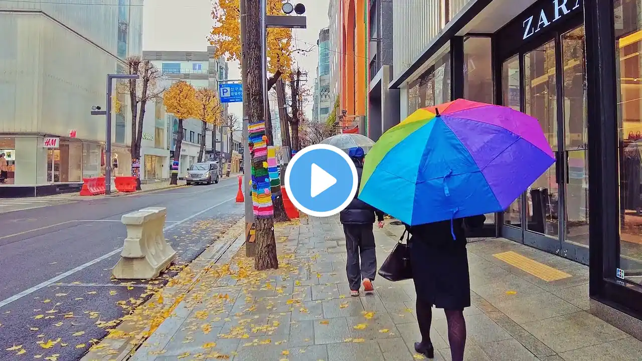
Seoul Gangnam, Sinnonhyeon and Nonhyeon Station Market Street Korea 4K 서울 강남, 신논현, 논현역 시장 거리 4K
Hello, this is Street life. After the typhoon, I walked down Gangnam street on a clear Friday evening. It was an impressive time to see the high sky as if autumn had come. As I walk down the street, I often see dangerous and strange things. You may breathe a little faster, so please watch carefully. Walking videos of Seoul are introduced once or twice a week. Please look forward to seeing me getting better.~ If you don't mind, please subscribe. Thank you~^^ 안녕하세요 Street life입니다 태풍이 지나간 뒤에 맑게 갠 금요일 저녁 강남거리를 걸었습니다 가을이 찾아온듯한 높은 하늘이 인상적인 시간이었습니다. 길을 걷다 보면 위험하고 이상한 일들도 종종 만나게 되는 것 같습니다. 약간 호흡이 빠를 수 있으니 유의하고 시청해 주세요 매주 1~ 2회 서울의 걷기 영상이 소개됩니다 점점 나아지는 모습 기대해 주세요~ 괜찮으시다면 구독 부탁드립니다~ 감사합니다~^^ In the past, Songpa-gu, Gangnam-gu and Seocho-gu, three districts southeast of Seoul, remained in typical villages around Seoul, where most of the residents lived by farming and there were no paved roads. In the past, the traditional central area of Seoul was the old town where Joseon's capital was located in Gangbuk, and it was now Jongno-gu and Jung-gu. Except for Gangnam-gu, Jamsil-dong and Sincheon-dong, Songpa-gu, Yeomgok-dong, and Shinwon-dong in Seocho-gu belonged to Gwangju-gun, Gyeonggi-do, while Seocho-gu, excluding Yeomgok-dong, Naegok-dong and Shinwon-dong, belonged to Siheung-gun, and Jamsil-dong and Sincheon-dong in Songpa-gu belonged to Goyang-gun. After being incorporated into the Seoul Metropolitan Government in 1963, the areas belonging to Gwangju-gun and Goyang-gun in Gyeonggi-do were under the jurisdiction of Seongdong-gu, while the areas belonging to Siheung-gun in Gyeonggi-do were under the jurisdiction of Yeongdeungpo-gu in 1997 (the area was also incorporated into Seongdong-gu). In August 1964, Maljuk Street (Yangjae Station) was designated as a commercial district. On February 22, 1966, the Seoul Metropolitan Government applied for approval of the "South Seoul Urban Planning," which calls for accommodating 120,000 households and 600,000 people over a decade in the area south of the Han River. Thanks to the construction of the Third Han River Bridge, which began in 1966 and was completed in 1969, Gangnam will be incorporated into the Seoul area of living. In 1969, a year after the North Korean armed operatives raided the presidential office of Cheong Wa Dae, a plan to build a "Second Seoul" south of the Han River was announced. Since the 1970s, the development of residential and business sites under the leadership of the Korean government has led to large-scale urban planning and the construction of bridges connected to the Gangbuk area, making transportation convenient. In 1975, the entire area south of the river in Seongdong-gu was divided into Gangnam-gu, and the name Gangnam officially appeared. Starting with Gyeonggi High School in 1976, the "Gangnam 8th School District" was created with the relocation of prestigious high schools. As the population surged due to rapid development, the eastern part of Tancheon in Gangnam-gu was separated into Gangdong-gu in 1979. In the 1980s, the growth of Gangnam-gu and Gangdong-gu was further accelerated and the population increased significantly. Therefore, in 1988, Seocho-gu was separated from Gangnam-gu and Songpa-gu from Gangdong-gu to the present day. The development of Gangnam was completed with the opening of subway lines 2 and 3 in the 1980s. The subway has grown into a regional hub connected to intercity buses such as Sadang, Gangnam and Yangjae. Ahead of the 88 Olympics, various development projects, including intensive development of Teheran-ro, were carried out to show off the development of neighboring countries to the world


