How to Import Excel Data with Latitude & Longitude into Google Maps | Easy Step-by-Step Guide |
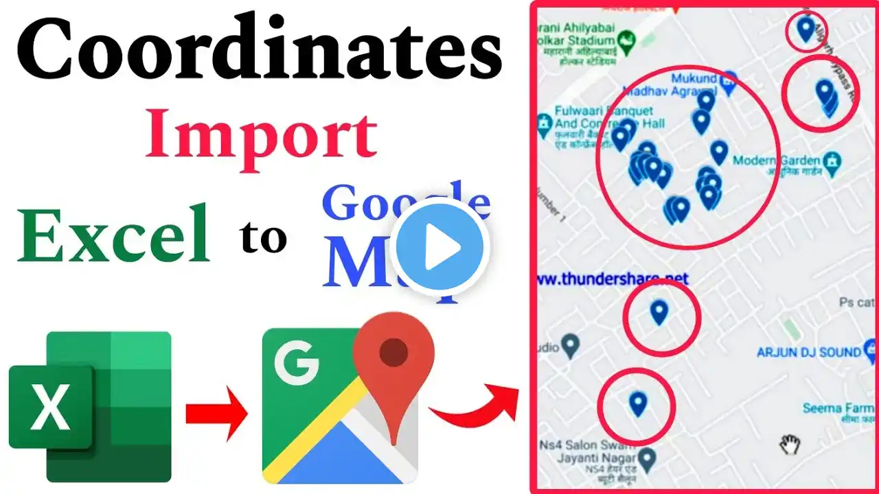
Transform your customer data into an engaging visual map with this easy, step-by-step guide! In this video, we reveal the secret to importing Excel spreadsheets containing latitude and longitude coordinates directly into Google Maps through My Map google map feature. Perfect for businesses, researchers, and anyone handling location-based data, this tutorial will help you visualize customer locations effortlessly. Watch now and learn how to turn your raw data into an interactive, geographical masterpiece! Don’t forget to like, comment, and subscribe for more tech tutorials and data visualization tips! 🔔 Mastering Excel Open 3D Map: Fix 3D Maps Not Opening in Excel | Step by Step Guide | • Mastering Excel Open 3D Map: Fix 3D M... Mastering Excel Open 3D Maps: Import Data with Coordinates | Step by Step Guide • Mastering Excel Open 3D Maps: Import ... Mastering Excel Open 3D Maps: Custom Settings & Data Import Tips | • Mastering Excel Open 3D Maps: Custom ... Mastering Excel Open 3D Maps: Adding & Syncing Multiple Layers Easily • Mastering Excel Open 3D Maps: Adding ... Mastering Excel Open 3D Maps: Categorize & Filter Geographical Data with Multi-Layer Colors • Mastering Excel Open 3D Maps: Categor... Follow on Social Media Instagram / i_am_shivamrajkumar Facebook / theoneskillhub Twitter / theoneskillhub DISCLAIMER: Copyright disclaimer under section 107 of the copyright act 1976, allowance is made for "fair use" for purposes such as criticism, comment, news reporting, teaching, scholarship, education and research. Fair use is a use permitted by copyright statue that might otherwise infringement. #ExcelToGoogleMaps #LatitudeLongitude #DataVisualization #GoogleMapsTutorial #MappingData #ExcelTutorial #GeospatialData #CustomerLocations #StepByStepGuide #DataMapping
