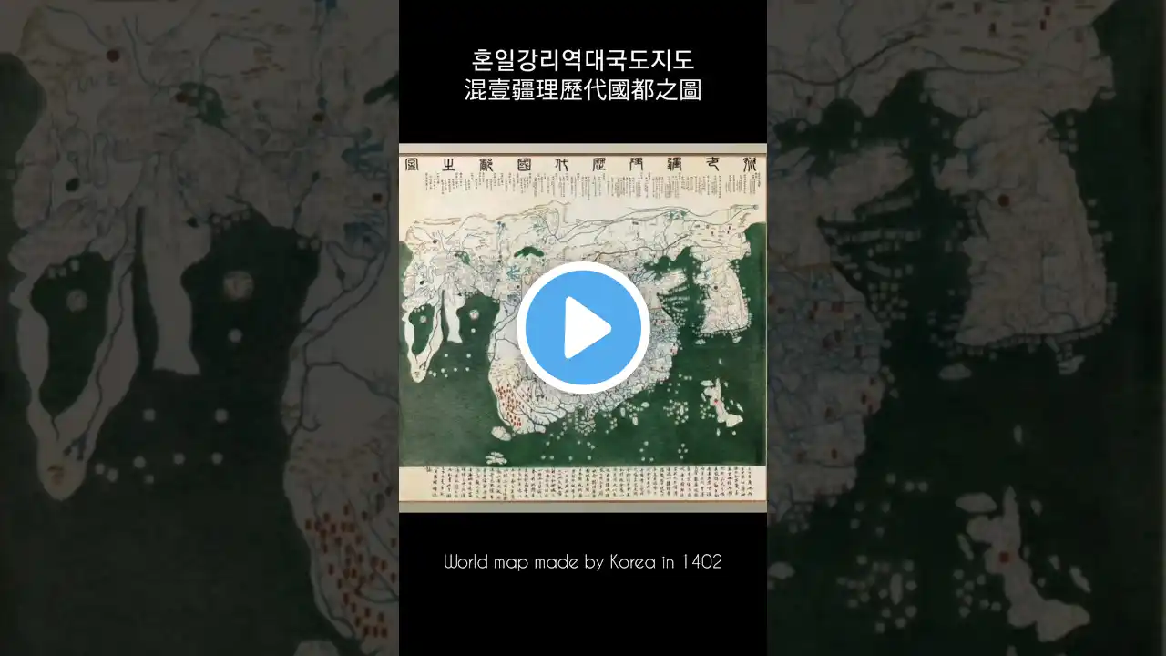
World map made by Korea in 1402, Honil Gangni Yeokdae National Road Map 혼일강리역대국도지도 混壹疆理歷代國都之圖
혼일강리역대국도지도(混壹疆理歷代國都之圖) 또는 단순히 강리도(疆理圖)는 조선 태종(太宗) 2년(1402년)에 제작된 세계 지도이다. Honil Gangni Yeokdae National Road Map (混壹疆理歷代國都之圖) or simply Gangrido (疆理圖) is a world map produced in the second year of King Taejong (太宗) of the Joseon Dynasty (1402).