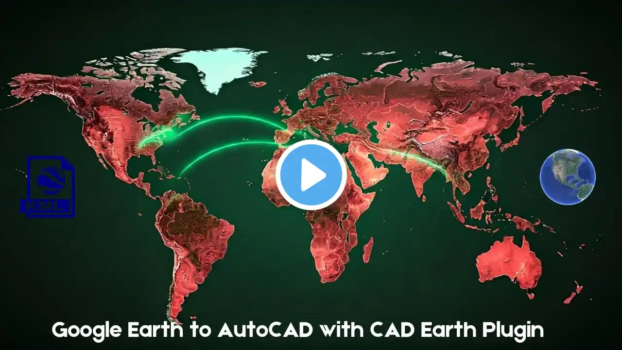
Export CAD Drawings to Google Earth in Minutes Using Cad-Earth | AutoCAD Tutorial
🌍 Learn How to Seamlessly Export AutoCAD Drawings to Google Earth with Cad-Earth! 🌍 In this step-by-step tutorial, discover how to bridge the gap between AutoCAD and Google Earth using the powerful Cad-Earth extension. Whether you're an architect, engineer, or GIS professional, this video will show you how to visualize your CAD designs in real-world contexts with just a few clicks. ✨ What You’ll Learn: ✅ Installing Cad-Earth: How to set up the extension in AutoCAD. ✅ Exporting CAD Drawings: Convert your 2D/3D designs into Google Earth-compatible formats. ✅ Georeferencing: Accurately place your drawings on real-world coordinates. ✅ Visualization Tips: Enhance your Google Earth presentations with layers and styles. ✅ Troubleshooting: Fix common issues during the export process. 🔧 Who Is This For? • Architects • Civil Engineers • Urban Planners • GIS Professionals • CAD Designers • Students and Educators 🔑 SEO Keywords: AutoCAD to Google Earth, Cad-Earth Tutorial, Export CAD Drawings, Georeferencing in AutoCAD, GIS Mapping, 3D Visualization, CAD Design, Google Earth Integration, Urban Planning, Civil Engineering, AutoCAD Extensions 📌 Why Watch? • Save time by streamlining your workflow • Enhance project presentations with real-world context • Learn a valuable skill for GIS and design projects 👍 Ready to take your CAD designs to the next level? Hit LIKE, SHARE, and SUBSCRIBE for more tutorials on AutoCAD, GIS, and design tools! #AutoCAD #GoogleEarth #CadEarth #CADDesign #GISMapping #Georeferencing #CivilEngineering #UrbanPlanning #3DVisualization #AutoCADTips 0:00 Intrduction 0:14 Import CSV Excel to Autocad software 0:39 Edit Point Size, Text Size and Text Offset Distance 0:57 Connect Polyline to form Boundary 1:48 Set Coordinates System for project with Cad-Earth 2:32 Export CAD Objects 2:54 Preview Expoted Boundary 3:40 Export Boundary to KML CAD EARTH AUTOCAD EXTENSION SETUP FILE Download Link : https://cad-earth.com/downloads.html


