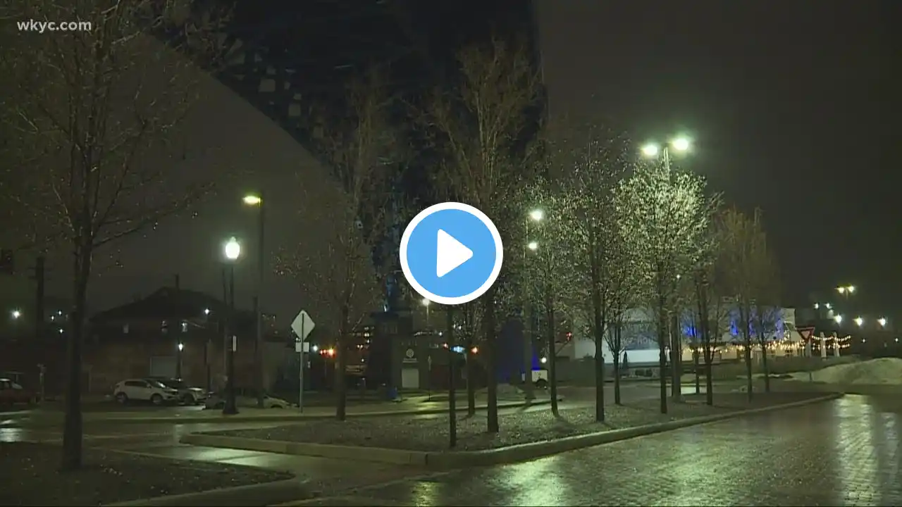
Rain, ice, and snowy weather impacting downtown Cleveland
3News' Carmen Blackwell talks with downtown Cleveland drivers amid the wintry weather. In the meantime, here's the latest Cleveland weather forecast from 3News' Betsy Kling and Payton Domschke: The changeover is here as temperatures continue to drop! It'll be a north to south switch not only with temperature but in varying precipitation types. A sleet to icy mix will happen first followed by a quick hit of snow. As of 6PM this evening, the National Weather Service has issued a Winter Storm Warning through 7AM tomorrow for Lorain, Cuyahoga, Lake, Geauga, and Ashtabula counties. If you're not in the Winter Storm Warning, you're most likely under the Winter Weather Advisory (except for Carrol and Tuscarawas counties). These advisories and warnings are issued based on technicalities; however, impacts will be felt across all of NE Ohio. This isn't going to be a snow driven event rather a temperature driven event. The drastic drop in temperature combined with the snowmelt and rain, we're in for a flash freeze tomorrow morning. Things will get slick very quick especially for the commute home and commute early tomorrow. Please travel with caution and allow for extra travel time. Also, don't forget the winter gear as 50s are no longer in sight. YOUR 3-DAY FORECAST: TONIGHT: Transition to sleet/icy mix then over to snow. 20s and falling. FRIDAY: Early snow ends giving way to lots of sunshine. Much colder. Mid to upper 20s for highs. SATURDAY: Cold, snow at times. Upper 20s. READ: https://www.wkyc.com/article/weather/...


