Overlaying weather maps and cloud images with GFS data using OpenCPN
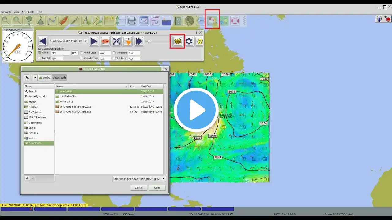
We use the powerful weatherfax_pi plugin for OpenCPN to overlay GFS wind and pressure surface analysis with the corresponding OPC surface analysis map and the GOES West satellite image. We get the grib file from XyGrib and then load it into OpenCPN. Please see this note on how to update your file list: http://davidburchnavigation.blogspot....