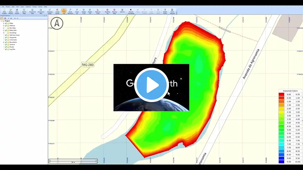
Export to Google Earth KML/KMZ files
In Hydromagic, it is possible to convert soundings, vector maps, matrices, boundaries, comments, waypoints, and cross-section lines (planned lines) to Google Earth KML files. When exporting a matrix, depending on the options you select, an image file is generated and loaded in Google Earth as a so-called 'ground overlay'. A matrix can be exported using depth values as well.


